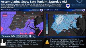
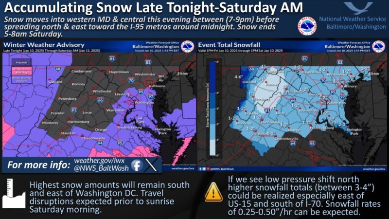
 Winter Weather Advisory is in effect for St. Mary’s, Calvert and Charles County from 10:00 p.m, Friday night into 7am Saturday morning.
* WHAT…Snow expected. Total snow accumulations of 1 to 3 inches can be expected for St. Mary’s County with 1 to 2 inches for Charles and Calvert Counties.
* WHEN…From 10 PM this evening to 7 AM EST Saturday.
* IMPACTS…Roads, and especially bridges and overpasses, will likely become slick and hazardous. Plan on slippery road conditions.
* ADDITIONAL DETAILS…Light to moderate snow will overspread the area late this evening, then quickly come to an end Saturday morning.
PRECAUTIONARY/PREPAREDNESS ACTIONS… Slow down and use caution while traveling. The latest road conditions for the state you are calling from can be obtained by calling 5 1 1.
Be prepared for slippery roads. Slow down and use caution while driving. If you are going outside, watch your first few steps taken on stairs, sidewalks, and driveways. These surfaces could be icy and slippery, increasing your risk of a fall and injury.
National Weather Service Updates and Latest Forecast from JB Weather
Friday – Increasing clouds, with a high near 34. Northwest wind 6 to 11 mph, with gusts as high as 20 mph.
Friday Night – Snow, mainly after 1am. Low around 27. Southwest wind 3 to 6 mph. Chance of precipitation is 80%. New snow accumulation of 1 to 3 inches possible.
Saturday – A chance of snow before 1pm. Cloudy through mid morning, then gradual clearing, with a high near 39. Southwest wind 5 to 14 mph becoming northwest in the morning. Winds could gust as high as 21 mph. Chance of precipitation is 30%.
Saturday Night – Clear, with a low around 24. Northwest wind 10 to 14 mph, with gusts as high as 21 mph.
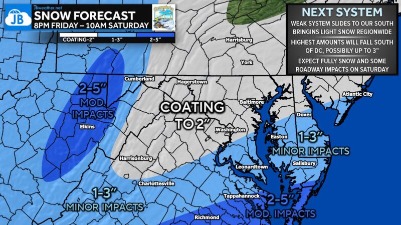
“Our next system will slide to the south of our region and is expected to remain weak. However, this will likely bring measurable snow to our region well after sunset Friday before getting out of here by mid-morning Saturday. 1-3″ looks very possible in Southern MD with 2-5″ for Tidewater VA.
Overall, I am not expecting high impacts from this system… especially in comparison to Monday’s storm! With that said, I would expect this light, fluffy snow to accumulate on roadways and cause some issues Saturday morning. The highest impacts will be found further south.” – JB Weather Forecast


