UPDATE @ 10:10 p.m., Multiple SMECO crews have restored most power throughout the region. As of 10:10 p.m., approximately 1,658 customers are still without power.
6/8/2022 @ 8:55 p.m., over 10,000 customers are currently without power – SMECO crews are working on restoring multiple outages, and firefighters in Charles, Calvert and St. Mary’s are responding to multiple trees/wires down.
Severe Thunderstorm Warning for Calvert County until 9:45 p.m.
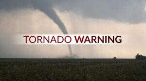
A TORNADO WARNING REMAINS IN EFFECT UNTIL 915 PM EDT FOR NORTH
CENTRAL ST. MARYS AND SOUTH CENTRAL CALVERT COUNTIES…
At 849 PM EDT, a severe thunderstorm capable of producing a tornado was located near Sheridan Point, moving east at 15 mph.
HAZARD…Tornado and two inch hail.
SOURCE…Radar indicated rotation.
IMPACT…For those in the direct path of a tornado touchdown, flying debris will be dangerous to those caught without shelter. Damage to roofs, siding, and windows may occur. Mobile homes may be damaged or destroyed. Tree damage is likely.
This dangerous storm will be near… Greenwell State Park around 910 PM EDT. Saint Leonard Creek and Saint Leonard around 915 PM EDT.
Other locations impacted by this tornadic thunderstorm include Oakville, Sandgates, Sotterley, Hillville and Mechanicsville.
PRECAUTIONARY/PREPAREDNESS ACTIONS…
TAKE COVER NOW! Move to a basement or an interior room on the lowest floor of a sturdy building. Avoid windows. If you are outdoors, in a mobile home, or in a vehicle, move to the closest substantial shelter and protect yourself from flying debris.
TORNADO…RADAR INDICATED
MAX HAIL SIZE…2.00 IN
SMECO OUTAGE MAP – Over 5,400 customers without power
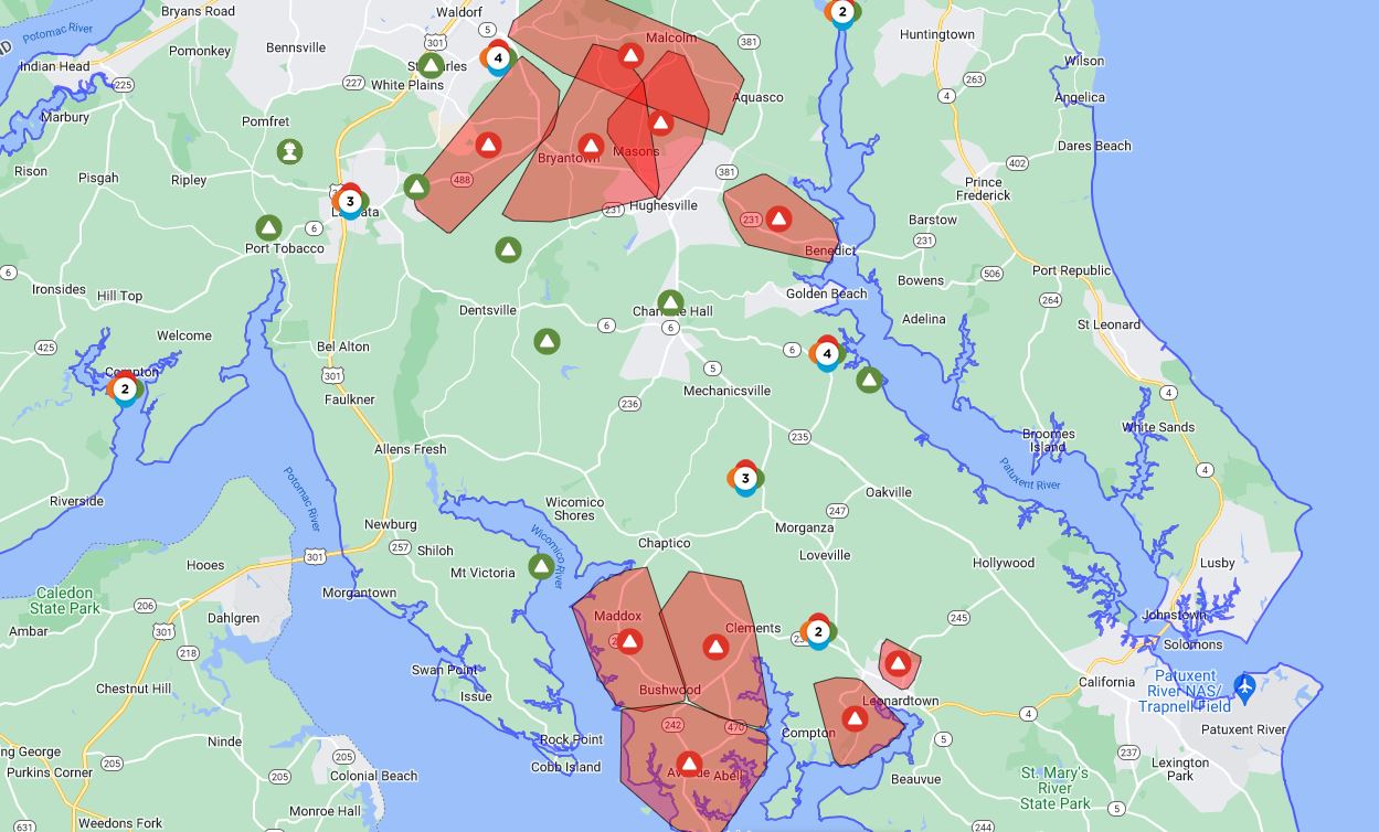
SMECO Outages as of June 8th, 2022, at 9:10 p.m., affecting over 10,000 customers throughout Charles and St. Mary’s County

