 National Weather Service Baltimore MD/Washington DC – Wed Jul 2 2025: NWS Damage Survey for July 1, 2025, Beauvue Tornado Event.
Rating: EF-0
Estimated Peak Wind: 80 mph
Path Length /statute/: 0.1 miles
Path Width /maximum/: 75 yards
Fatalities: 0
Injuries: 0
Start Date: Tuesday, 7/01/2025
Start Time: 07:45 PM EDT
Start Location: 2 W Redgate / St. Mary’s County / MD
Start Lat/Lon: 38.255 -76.628
End Date: 07/01/2025
End Time: 07:46 PM EDT
End Location: 1 W Redgate / St. Mary’s County / MD
End Lat/Lon: 38.254 -76.626
On the evening of Tuesday July 1, a severe thunderstorm produced a brief EF-0 tornado two miles south of Leonardtown, in Beauvue, Maryland.
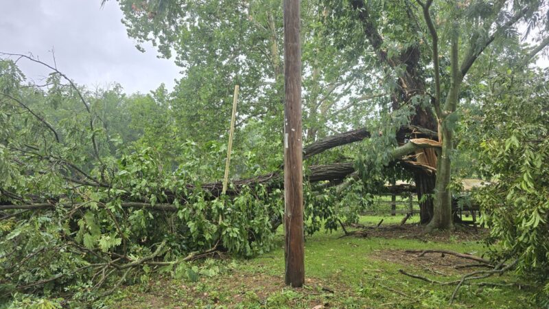
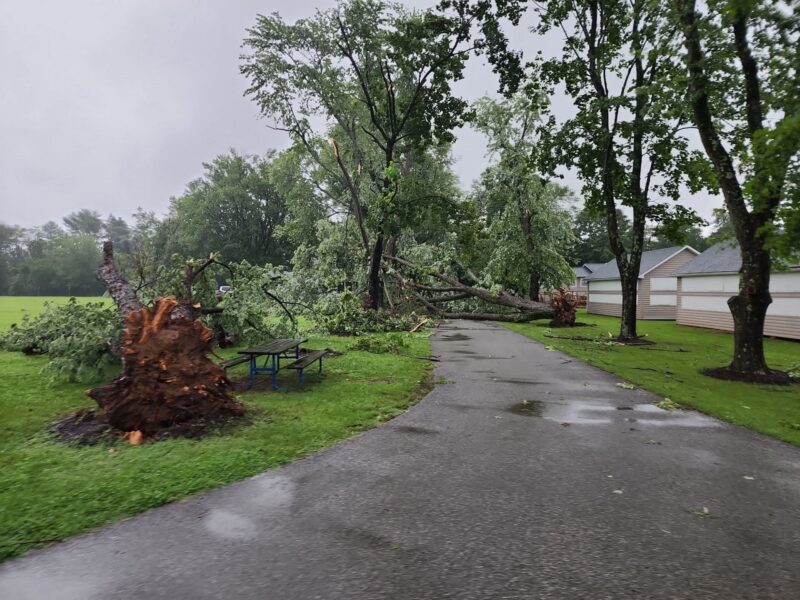
The storm had earlier produced a waterspout on Breton Bay that was captured on video. The tornado uprooted about 10 trees along Medleys Neck Road and Cedar Hill Lane. It also snapped the tops of 10 trees. Tree damage was oriented in different directions.
Two trees impacted homes, one fell on a vehicle, but no injuries were reported. The tornadic touchdown was brief, as the storm quickly produced a severe downdraft that ended the circulation, and continued to produce scattered tree damage along its path east through St. Mary’s County.
The National Weather Service Baltimore/Washington would like to thank St. Mary’s County Department of Emergency Services, who provided invaluable support for this survey, as well as trained spotters and the public for providing photos and videos.
EF Scale: The Enhanced Fujita Scale classifies tornadoes into the following categories:
- EF0………65 to 85 mph
- EF1………86 to 110 mph
- EF2………111 to 135 mph
- EF3………136 to 165 mph
- EF4………166 to 200 mph
- EF5………>200 mph
Path of EF0 Tornado on July 1st, 2025
Large tree that fell during a house fire on Wednesday Morning, July 2nd, 2025, in the 20000 block of Medleys Neck Road
Trees uprooted in Camp Maria Retreat Center in Leonardtown

